


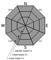


For 5000 ft. to 7000 ft.
| Friday | Friday Night | Saturday | |
|---|---|---|---|
| Cloud Cover: | Mostly cloudy skies with intermittent snow/rain showers | Lingering snow/rain showers under mostly cloudy skies | Mostly dry weather under mix of clouds and sun. |
| Temperatures: | 38-46 deg. F. | 27-32 deg. F. | 40-50 deg. F. |
| Wind Direction: | WNW | WSW | SW |
| Wind Speed: | 3-5 | 3-5 | 4-8 |
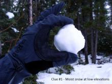
| Snowfall: | 0-2 in. | 0-1 in. | 0 in. |
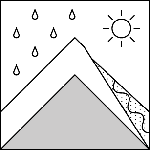
| Snow Line: |


