| Friday | Friday Night | Saturday | |
|---|---|---|---|
| Cloud Cover: | Mostly Cloudy | Mostly Cloudy | Overcast |
| Temperatures: | 34 to 40 deg. F. | 22 to 28 deg. F. | 27 to 33 deg. F. |
| Wind Direction: | Southwest | South | South |
| Wind Speed: | 5 to 15 G30 | 2 to 12 G20 | 5 to 15 G20 |
| Snowfall: | 0" in. | 0 to 2" in. | 2 to 4" in. |
| Snow Line: | 6000' | 5000' | 4500' |
Flathead Range and Glacier National Park
How to read the forecast
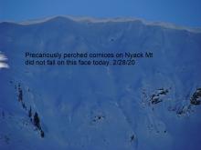
Don’t lollygag below cornices: multiple unseasonably warm days without an overnight refreeze are weakening the roots of the sagging, van-sized lips parked precariously on ridgelines. Wet avalanches remain a concern in steep terrain that is slushy from warm temperatures and sun or receives rain on dry snow today.

2. Moderate
?
Above 6500 ft.
2. Moderate
?
5000-6500 ft.
1. Low
?
3500-5000 ft.
- 1. Low
- 2. Moderate
- 3. Considerable
- 4. High
- 5. Extreme
-
Type ?
-
Aspect/Elevation ?
-
Size ?HistoricVery LargeLargeSmall

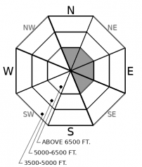
Two consecutive days of above freezing temperatures and a minimal refreeze at high elevations are increasing the likelihood of large cornice falls. Cornice failures don’t give us warning signs other than their obvious presence looming above you. Don’t hang out below cornices today; falling cornices are dangerous in and of themselves, and they have potential to trigger slab avalanches below. Give cornices a wide berth while traveling on ridgelines because they are notorious for breaking further back than expected.
-
Type ?
-
Aspect/Elevation ?

-
Likelihood ?CertainVery LikelyLikelyPossible
 Unlikely
 -
Size ?HistoricVery LargeLargeSmall

Air temperatures remained above freezing last night at mid and low elevations. The snow surface continues to absorb heat today through a mix of warm temperatures, patches of sun, and isolated rain showers. In very steep terrain where dry, soft snow becomes moist for the first time, or where you see more than 6” of slushy wet snow, be cautious of wet snow avalanches. Rollerballs and pinwheels are signs of unstable wet snow. Move towards colder snow at higher elevations, or towards lower angle terrain, to avoid the problem.
-
Type ?
-
Aspect/Elevation ?

-
Likelihood ?CertainVery LikelyLikelyPossible
 Unlikely
 -
Size ?HistoricVery LargeLargeSmall

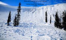
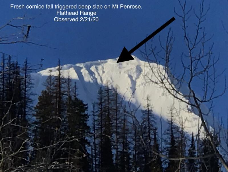
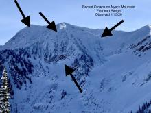
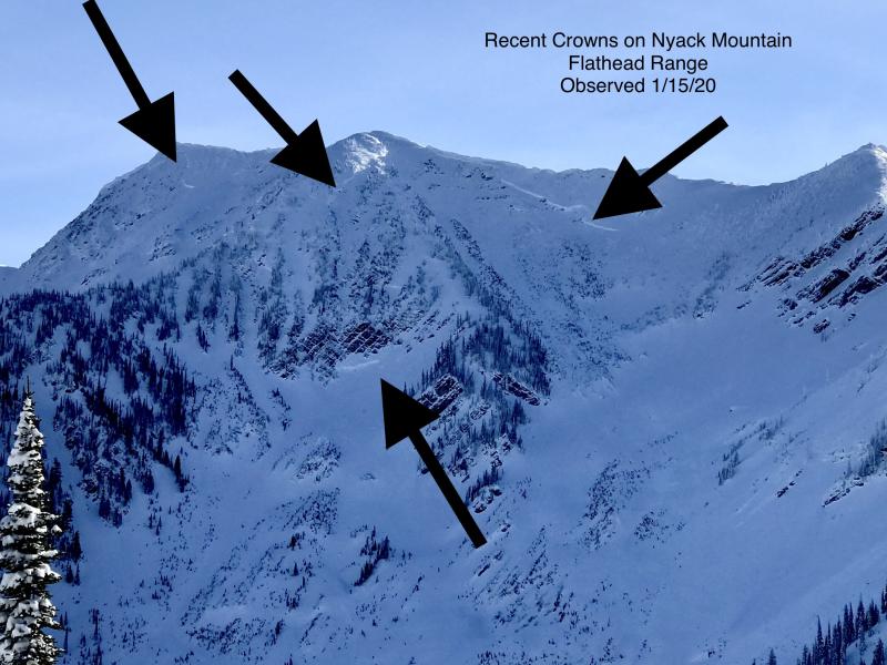
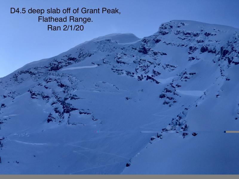
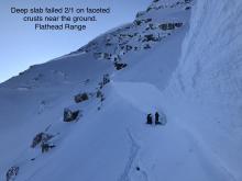
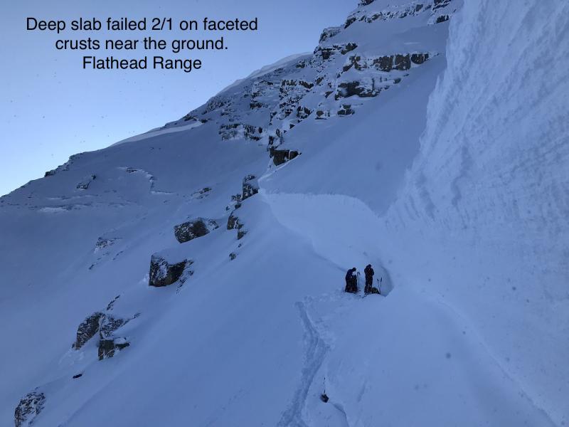
In the past few weeks, a few cornice falls have triggered large, deep slabs (Example A, Example B). These slides are good reminders of the lingering danger of very large avalanches breaking on weak snow near the ground in high alpine bowls and on steep faces in the Flathead Range and Glacier National Park. Cornice fall is the most likely trigger for these unsurvivable avalanches. Even though deep slab avalanches are rare, it’s good policy to limit your time under steep northerly and easterly start zones, especially under the current warming trend.
Mountain temperatures at 6,000' remained in the mid 30's overnight and will remain unseasonably warm today. With a poor refreeze overnight, our concerns for warming-related avalanche problems are increasing. Cornice falls are the most destructive issue. They have grown to deadly sizes this season and pose a scary hazard in and of themselves. In Glacier Park and the Flathead Range, falling cornices have popped off some larger slab avalanches in recent weeks (such as this avalanche observed yesterday). These slides are sometimes breaking on stubborn weak layers deep in the snowpack. Travel advice is simple: choose routes that minimize your exposure below cornices and corniced faces.
Loose wet avalanches in the upper snowpack pose a smaller but more common hazard today; they are most likely to cause trouble if you get caught up in one while riding around a terrain trap. Because snow surfaces on many slopes have been hardened by numerous melt-freeze cycles and wind events, loose wet avalanche activity was relatively benign yesterday (see Clancy's observation). This trend may continue today, or it may not. A poor refreeze last night and another warm day today will amplify surface melting or expand it to more terrain than yesterday. Be wary of wet snow surfaces that give warning signs such as rollerballs and pinwheels. At mid elevations, If wet snow is getting deep and you are punching through past your shins, use extra caution, avalanches could entrain larger amounts of snow. The travel advice for wet problems is fairly simple as well: ride where the snow is colder and dryer. Today, that looks like higher elevations. At higher elevations, you might encounter some old, lingering hard slabs left over from Wednesday's wind event. These are trending towards unreactive now, but best to view them with skepticism in consequential terrain.
Unseasonably warm weather continues today as high pressure moves east of us. Mountain temperatures dropped to the mid 30's last night except for a few of the highest weather stations. Temperatures will climb a few degrees today and we may see a few light rain/snow showers. Snowfall returns to the region tonight with freezing levels starting around 5000' but lowering through the day on Saturday. The Whitefish Range looks favored.
This forecast applies only to backcountry areas outside established ski area boundaries. The forecast describes general avalanche conditions and local variations always occur. This forecast expires at midnight on the posted day unless otherwise noted. The information in this forecast is provided by the USDA Forest Service who is solely responsible for its content.


