| Sunday | Sunday Night | Monday | |
|---|---|---|---|
| Cloud Cover: | Mostly Clear | Mostly Clear | Mostly Clear |
| Temperatures: | 18 to 25 deg. F. | 1 to 8 deg. F. | 27 to 34 deg. F. |
| Wind Direction: | Northeast | North | Northeast |
| Wind Speed: | 10 | 12 | 10 |
| Snowfall: | 0" in. | 0" in. | 0" in. |
| Snow Line: | 500' | 500' | 1000' |
Whitefish Range
Swan Range
How to read the forecast
Near-surface snow conditions are key to determining today's avalanche hazards. Where winds have hardened that snow into drifts and slabs, avoid crossing on or under steep start zones. Where the snow remains soft and loose, natural and triggered sluffs are possible. Don't let these catch you as you ride, or smack you from above while you're stopped.

2. Moderate
?
Above 6500 ft.
2. Moderate
?
5000-6500 ft.
1. Low
?
3500-5000 ft.
- 1. Low
- 2. Moderate
- 3. Considerable
- 4. High
- 5. Extreme
-
Type ?
-
Aspect/Elevation ?
-
Likelihood ?CertainVery LikelyLikelyPossible
 Unlikely
 -
Size ?HistoricVery LargeLargeSmall

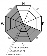
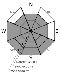
Powerful and sustained winds over the past few days have raked some basins while sparing others. In terrain reached by the winds, you'll find thick, hard drifts downwind of trees, saddles, ridges, and rock outcrops. The winds have been notherly and easterly - opposite of our prevailing winds - so slabs have formed in unusual locations. Today's warm temperatures may leave them more sensitive to the weight of a rider or snowmachine. Retreat to a wind protected basin and avoid crossing over or below thick, hard drifts in steep terrain.
-
Type ?
-
Aspect/Elevation ?
-
Likelihood ?CertainVery LikelyLikelyPossible
 Unlikely
 -
Size ?HistoricVery LargeLargeSmall

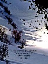
Where the near-surface snow isn't hardened or stiffened by recent winds, natural and triggered loose snow slides are possible on and below steep slopes. The hazard will be most widespread on slopes that receive sustained sun, particularly those below rock bands, cliffs, and trees. Snowballs rolling downslope in fan-shaped patterns are a clear sign that conditions are ripening for these slides. On shady slopes, you can trigger sluffs of cohesionless dry snow on steep slopes. These can be dangerous above terrain traps and where they run long distances. Triggered and natural loose snow slides will be larger in areas that have received the most recent snow, such as the Ten Lakes area. Move aside to let these sluffs pass as you're riding, and stop in spots where slides can't hit you from above.
Whew. The hat-tossing, kilt-lifting winds of the past few days are gradually subsiding. Not all the snow in the air was blowing around; 1 to 7 inches of low density snow fell across the forecast zone while the winds were raging. The winds were persnickety, with some basins blasted while others remain unsullied. They've blown from the north and east, and in some cases, blew stronger in the valleys than up high, and stronger where they downsloped on the southern and western sides of our mountain ranges. So they've left behind hard crusts, drifts, and slabs in unusual locations. Look for slabs crossloaded onto the uphill sides of rock outcrops, the bottom edges of start zones, on the sunny sides of gullies and ridges, and in low-elevation creekbeds. The other notable feature of these slabs is that they're hard, so they can break above you if you ride up into them or ride across them. They may be grow more sensitive today as they warm.
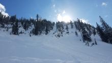
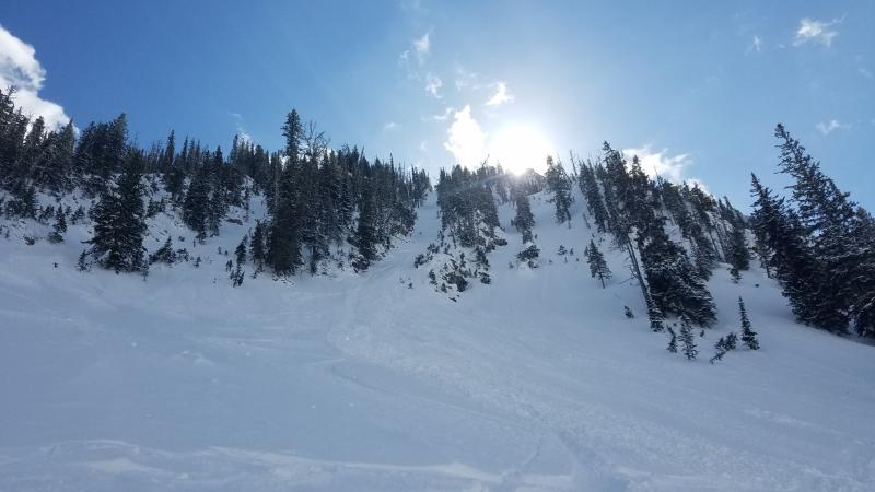
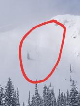
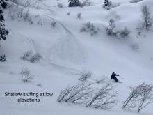
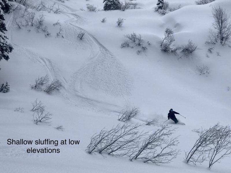
The near-surface snow in wind-sheltered terrain is generally loose and prone to sluffing, as evidenced by natural sluffs reported from Rescue Creek Saturday afternoon. Clear skies will pump substantial radiation into this snow on sunny aspects, though it likely won't be enough to warm the very cold snow above freezing. Still, as the day progresses, expect clumps of snow to fall from trees and rocks and trigger point releases on steep slopes below. Where these run long distances, or in areas that have 8 inches or more of soft snow at the surface, these can be large enough to be dangerous. Pick your lines to avoid being caught by these slides while you're riding or stopped.
In general, today's weather will be warmer, drier, and less windy than yesterday, though it's not clear how fast it will warm and how soon the winds will subside. Warm air from the south is bellying up against the arctic air smothering the area, and we can expect a sumo match between these two air masses. The models are struggling to call today's winner, so expect temperatures somewhere between 15 and 25 degrees at mid elevations, and winds diminishing by early to mid afternoon. There's a lot more agreement about tomorrow's round, with warm southern sumo coming out on top.
This forecast applies only to backcountry areas outside established ski area boundaries. The forecast describes general avalanche conditions and local variations always occur. This forecast expires at midnight on the posted day unless otherwise noted. The information in this forecast is provided by the USDA Forest Service who is solely responsible for its content.


