

Avalanche Forecast published on October 15, 2017 @ 7:36 am
Issued by
Zach Guy - Flathead Avalanche Center
Whitefish Range
Swan Range
Flathead Range and Glacier National Park
How to read the forecast
Fall Advisory Statement: Avalanche accidents can happen long before the chairlifts start spinning. Recent snow accompanied by gusty winds has increased the threat of sensitive wind slabs at higher elevations. Be wary of fresh wind drifts below ridgelines or in cross-loaded gullies. Even a small avalanche can have severe consequences if you get dragged into rocks or through vegetation. The FAC will monitor conditions through the fall and post updates as the snowpack evolves.

No Rating
?
Above 6500 ft.
No Rating
?
5000-6500 ft.
No Rating
?
3500-5000 ft.
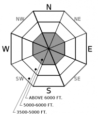
Avalanche Problem 1: Wind Slab
-
Type ?
-
Aspect/Elevation ?
-
Size ?HistoricVery LargeLargeSmall

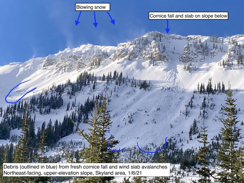
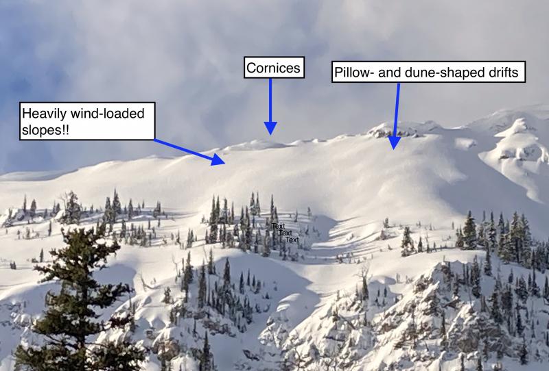
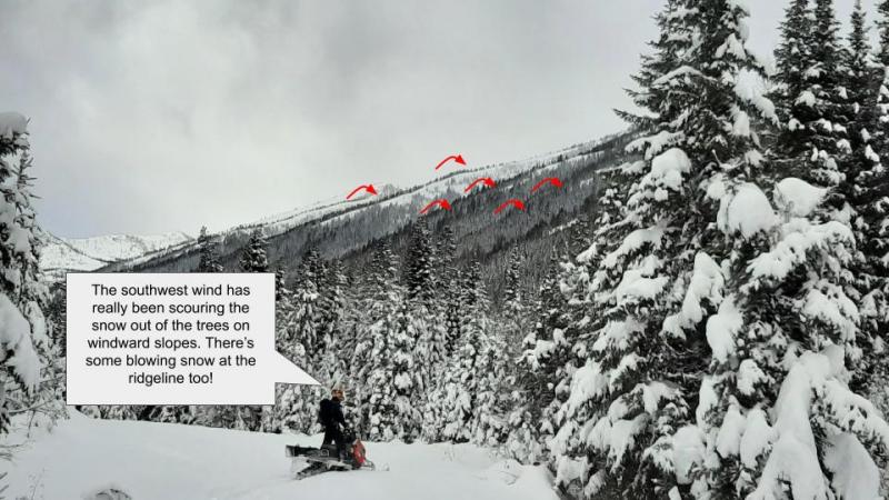
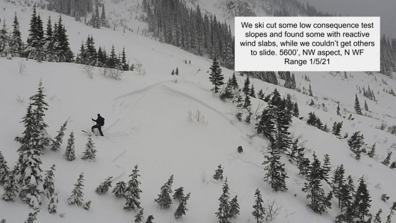
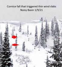
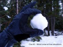
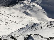
As much as a foot of snow accumulated on Friday and Saturday, accompanied by gusty northwesterly winds transporting snow at higher elevations. Windy conditions are forecasted to persist through the week, backing to the southwest. On most slopes, the snow coverage is presently too thin for avalanche threats, but you are most likely to encounter instabilities over the next week in the form of fresh wind slabs above treeline. The most concerning locations will be slopes with recent drifting snow, especially on shaded terrain that held existing coverage from previous storms (See this observation). Avoid heavily windloaded features below ridgelines or in gullies, where the snow coverage is smooth and thick enough to cover rocks and vegetation. Cracking underfoot is a telltale sign to reconsider your route.


Avalanche Problem 2: Loose Wet
-
Type ?
-
Aspect/Elevation ?
-
Size ?HistoricVery LargeLargeSmall
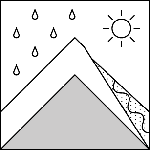
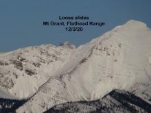
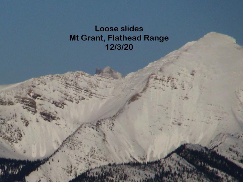
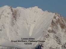
The recent snow can sluff off of rocks and out of gullies in the form of loose snow avalanches, especially as the snow moistens from rain or sunshine. Rollerballs or small point releases shedding off of very steep slopes are warning signs to assess your terrain choices and overhead hazards. Southerly aspects are most likely to be a concern early in the week as sunshine and warmer temperatures return to the mountains, while all aspects should be monitored when rain-on-snow returns later this week.


Forecast discussion
The recent avalanche fatality in Southwestern Montana is a tragic reminder that avalanches can happen this time of year. The report is here. If you are hiking or skiing at high elevations, be prepared for avalanche threats. Carry avalanche gear, cross avalanche terrain one at a time, and check for updates on avalanche conditions.
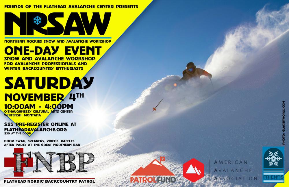
Dust off the avalanche cobwebs by attending our 7th annual Northern Rockies Snow and Avalanche Workshop on November 4th. It is going to be a great event and registration is now open!
Weather and CURRENT CONDITIONS
weather summary
A warming, drying trend is underway for the early part of the week, with temperatures rebounding to above-normal in the mountains. Breezy winds will continue all week, and winds will be especially fierce closer to the Continental Divide. A minor disturbance will bring light rain to all but the highest elevations by mid-week under southwesterly flow. A cold front is forecasted to bring snow back to all elevations on Friday, although the timing on this will likely change.
Disclaimer
This advisory applies only to backcountry areas outside established ski area boundaries. This advisory describes general avalanche conditions and local variations always occur. This advisory expires at midnight on the posted day unless otherwise noted. The information in this advisory is provided by the USDA Forest Service who is solely responsible for its content.
Search
Follow or Subscribe


In Partnership With

In Partnership With
