

Avalanche Forecast published on November 24, 2017 @ 7:51 am
Issued by
Mark Dundas - Flathead National Forest
Whitefish Range
Swan Range
Flathead Range and Glacier National Park
How to read the forecast
Recent substantial rain, combined with above freezing temperatures, has created a wet avalanche problem at all elevations. Natural avalanche activity is diminishing but human triggered avalanches in the saturated snow surface remain a concern. A deeper weak layer in the snowpack has also been stressed by the weight of this storm. Give the snowpack time to adjust to this unusual event while recreating on lower angle terrain and practicing safe travel techniques.

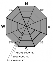
No Rating
?
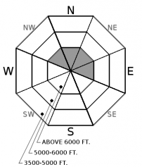
Above 6500 ft.
No Rating
?
5000-6500 ft.
No Rating
?
3500-5000 ft.
Avalanche Problem 1: Loose Wet
-
Type ?
-
Aspect/Elevation ?
-
Size ?HistoricVery LargeLargeSmall

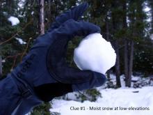
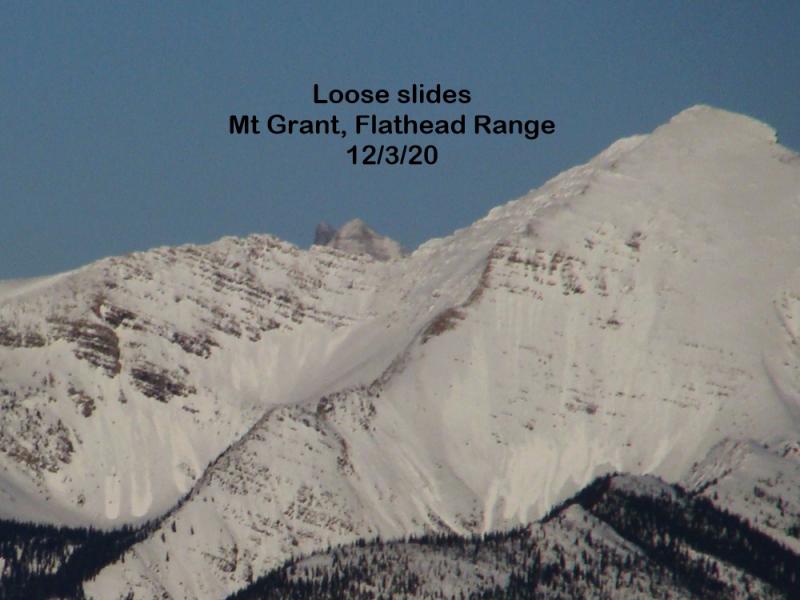
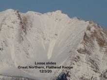
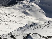
Copious rainfall with accompanying well above normal temperatures were recorded across our advisory area at all elevations for a 48 hour period ending last night. Due to cooler and drier weather entering our area natural avalanche activity is diminishing but a human triggered avalanche remains a concern in the saturated snow surface. A thin surface crust is likely forming in the upper elevation areas but this crust should not be trusted as it is capping a layer of wet snow. Unusual weather produces unusual avalanches and therefore allow the snowpack time to adjust to this storm. Stay away from all terrain traps because even a small slide could deposit a deep pile of heavy wet debris.


Avalanche Problem 2: Persistent Slab
-
Type ?
-
Aspect/Elevation ?
-
Size ?HistoricVery LargeLargeSmall
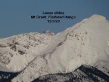
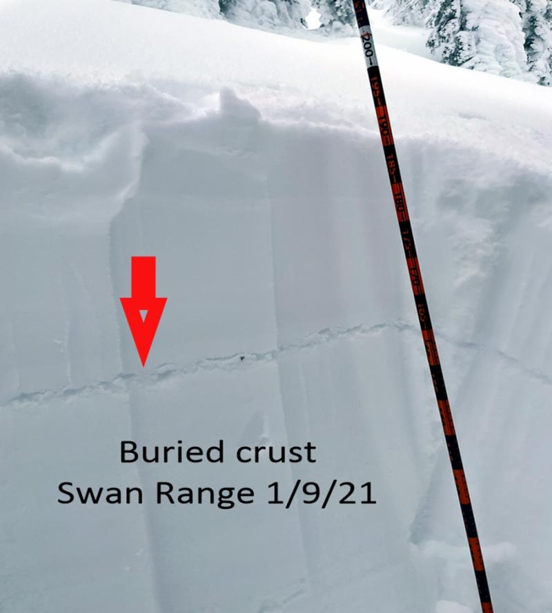
The storm that exited our area late last night/early this morning added substantial weight to the persistent slabs overlying a crust/facet layer near the ground on some high elevation slopes (see this observation). Whether this load was enough to tip the balance and get these slabs to fail is unknown at this time due to limited observations. In some areas this persistent slab may have failed while in other areas it may require a single recreationalist to tip the scales. The only way to know if this problem still exists is to dig into the snowpack to the ground. It would be prudent to avoid avalanche slopes harboring this persistent slab.


Forecast discussion
Due to early season coverage and limited operational resources for this time of year, we are not issuing danger ratings and daily advisories yet. Our relatively dry early season snowpack was tested by the recent storms rainfall intensity and well above normal temperatures. Mark drove the Middle Fork corridor yesterday and noticed upper elevation wet loose activity but visibility was poor and observations were limited. In the coming days we will be able to get out and get more information about this event and encourage all of you to send us any observations you acquire. Eventually our saturated surface will freeze and become a stout crust which will present its own avalanche problems. For now though, our saturated snow surface is still a concern and should be evaluated before committing to any avalanche terrain at any elevation. Remember that closed ski areas without avalanche mitigation are equivalent to backcountry terrain right now.
Weather and CURRENT CONDITIONS
weather summary
The pineapple express/atmospheric river/lousy rotten storm exited our area early this morning. Precipitation, almost entirely in the form of rain, averaged 2" at most weather stations with the Flattop snotel (central Glacier National Park) bringing home the lions share with 4.8". Air temperatures at most upper elevation weather stations were above freezing for 48+ hours. The truly sad part of this storm is the snow that was washed away. Most upper elevation weather stations reported a loss in snowdepth and SWE (snow water equivalent) with Flattop reporting a decrease of 15" in snowdepth and 1.7" of SWE loss. The runoff is well recorded at the Middle Fork of the Flathead River in West Glacier where the volume of water increased nearly twentyfive fold from 500 cfs (cubic feet per second) to 12,400 cfs and the river stage from 1.66 feet to 6.33 feet! Fortunately a cooling and drying trend is on tap until precipitation enters our area later this weekend.
Disclaimer
This advisory applies only to backcountry areas outside established ski area boundaries. This advisory describes general avalanche conditions and local variations always occur. This advisory expires at midnight on the posted day unless otherwise noted. The information in this advisory is provided by the USDA Forest Service who is solely responsible for its content.
Search
Follow or Subscribe


In Partnership With

In Partnership With
