


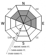


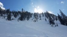
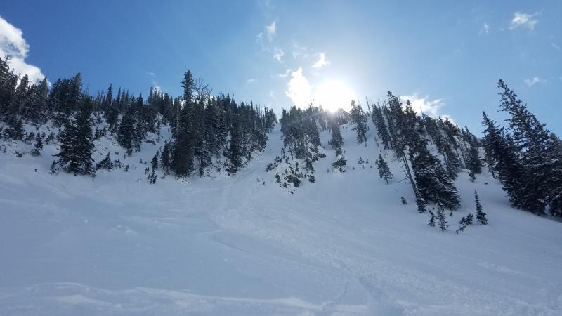


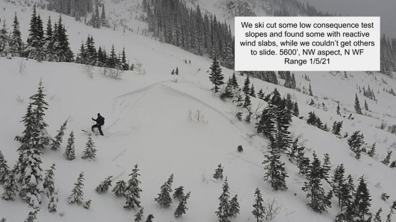
For 5000 ft. to 7000 ft.
| Friday | Friday Night | Saturday | |
|---|---|---|---|
| Cloud Cover: | Cloudy with snow, moderate winds, and strong gusts starting mid-day. | Continued snowfall, light winds, and moderate gusts. | Snow decreasing throughout the day. |
| Temperatures: | 25-30 deg. F. | 13-18 deg. F. | 20-25 deg. F. |
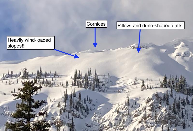
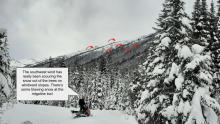
| Wind Direction: | Southwest -> West | West | West |
| Wind Speed: | 10-20 mph, gusts 26 mph. | 5-10 mph, gusts 17 | 0-5 mph |
| Snowfall: | 1-2 in. | 3-5 in. | 0-1 in. |
| Snow Line: |


