


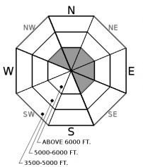


For 5000 ft. to 7000 ft.
| Tuesday | Tuesday Night | Wednesday | |
|---|---|---|---|
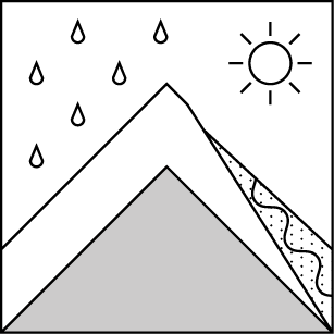
| Cloud Cover: | Sunny and warm | Partly cloudy | Rain showers developing p.m. |
| Temperatures: | 46 to 51 deg. F. | 23 to 28 deg. F. | 43 to 48 deg. F. |
| Wind Direction: | S | S | S |
| Wind Speed: | 0 to 5 mph | 0 to 5 mph | 0 to 5 mph |
| Snowfall: | 0 in. | 0 in. | 0 in. |
| Snow Line: |


